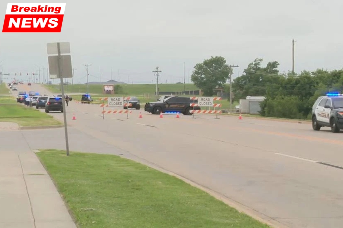
A powerful storm system is expected to bring dangerous weather to parts of Texas and Oklahoma on Friday afternoon and evening.
Meteorologists warn that conditions could support severe thunderstorms capable of producing large hail, damaging winds and possible tornadoes before the evening commute ends. Residents across both states are being urged to prepare early and stay alert as storms quickly develop.
Severe Storms Expected Friday Afternoon
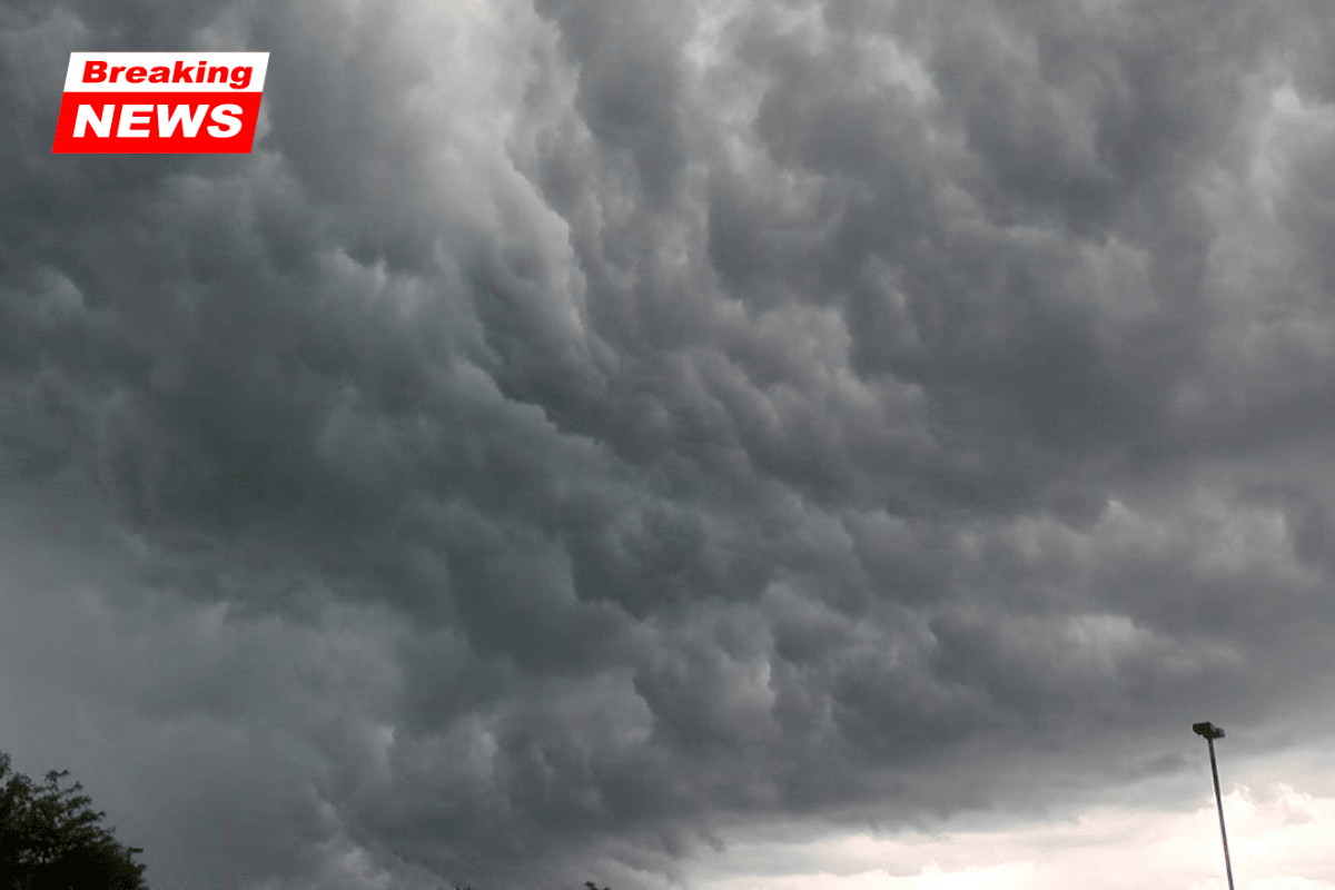
According to the National Weather Service and NOAA Storm Prediction Center, atmospheric conditions will become favorable for strong thunderstorms by mid-afternoon Friday.
Forecasters say storms could begin forming around 3 p.m., especially across western North Texas and central Oklahoma. These storms may develop into rotating supercells, which are powerful thunderstorms capable of producing tornadoes.
Storms are expected to move northeast at 40 to 50 mph, creating fast-changing weather conditions.
Major Weather Threats in the Region
Meteorologists say several severe weather hazards are possible as the storm system strengthens.
The main threats include:
- Wind gusts up to 80 mph
- Hail up to 2 inches in diameter
- Possible tornado development
- Rapidly changing visibility during storms
These conditions could develop quickly and may become dangerous for people traveling during the late afternoon and evening.
Areas at Highest Risk in Texas
The most significant threat in Texas stretches from Wichita Falls through the Dallas–Fort Worth Metroplex.
Communities located along several major highways could see storms rapidly intensify, including:
- I-20
- I-30
- I-35W
Early storms may begin as isolated supercells capable of producing tornadoes and large hail. Later in the evening, those storms may combine into larger storm systems.
Drivers may experience sudden visibility drops, strong wind gusts and debris on roadways, which can create hazardous travel conditions within minutes.
Severe Weather Risk Across Oklahoma
In Oklahoma, forecasters are closely watching the I-35 corridor, which includes several major cities.
Areas facing the highest risk between 4 p.m. and 9 p.m. include:
- Norman
- Oklahoma City
- Stillwater
Storms could also move into eastern Oklahoma later in the evening, bringing severe weather to areas near:
- Tulsa
- Communities along US-75
Strong winds or tornadoes could cause damage to buildings and power lines, potentially leading to power outages in some areas.
Why Supercells Are Concerning
Supercells are a special type of thunderstorm that contains a rotating updraft called a mesocyclone. These storms can produce the most severe types of weather.
Supercells are capable of generating:
- Tornadoes
- Large hail
- Intense lightning
- Damaging straight-line winds
Because these storms can form quickly and strengthen rapidly, forecasters encourage residents to monitor weather alerts closely.
Safety Tips Before Storms Arrive
Emergency officials are urging residents to prepare before storms develop, rather than waiting for warnings.
Important safety steps include:
- Secure outdoor furniture or loose objects
- Charge mobile phones and portable batteries
- Make sure weather alert apps or radios are working
- Review your tornado shelter plan with family members
You should also identify a safe shelter location, such as:
- A lowest-level interior room
- A basement or storm shelter
- A room without windows
Having a plan ready ahead of time can help you react quickly if warnings are issued.
Storm Threat May Continue Late Into the Night
Forecasters say the severe weather threat could last through at least midnight Friday as storms continue moving across the region.
Additional weather watches and warnings are likely once storms begin developing. Officials recommend monitoring updates from trusted weather sources throughout the afternoon and evening.