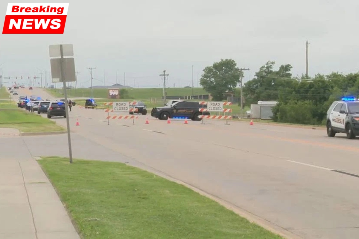
Oklahoma is preparing for a serious weather situation today, even as attention across the US is focused on tornadoes in other areas. A powerful storm system is expected to hit parts of the state this afternoon, bringing the risk of very large and damaging hail. If you are in the affected areas, this is the time to act and stay alert.
Oklahoma Faces Major Hail Threat Today
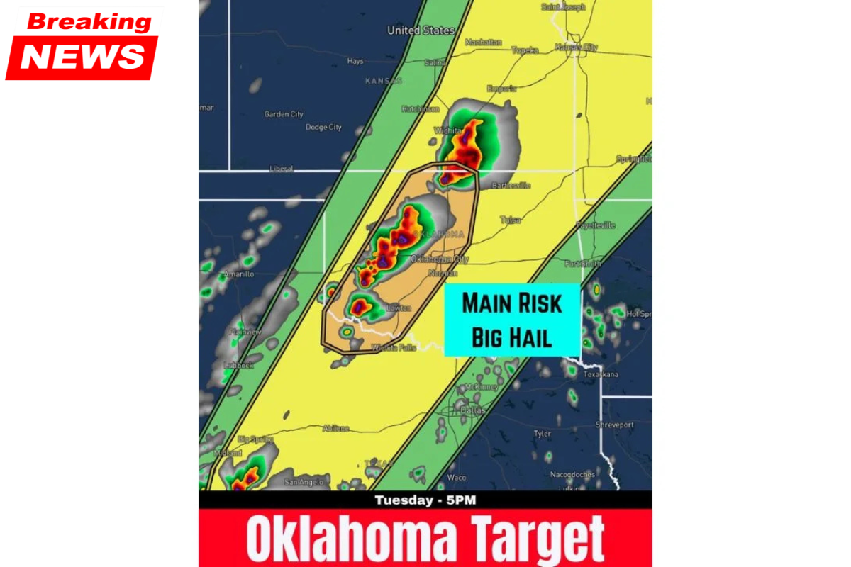
The main risk area stretches from Vernon in Texas all the way north through Oklahoma City, Norman, Lawton, and Bartlesville up to the Kansas border.
This corridor follows Interstate 44 and is expected to see storm activity between 3 PM and 5 PM. Weather experts are calling this setup one of the most significant hail events of the season for the region.
Where the Risk Is Highest
Here’s a simple breakdown of the main areas at risk:
| Area | Risk Level |
|---|---|
| Vernon, Texas | Starting point of hail zone |
| Wichita Falls, Texas | High risk |
| Lawton, Oklahoma | High risk |
| Oklahoma City, Oklahoma | Core danger zone |
| Norman, Oklahoma | High risk |
| Bartlesville, Oklahoma | Northern risk zone |
| Wichita, Kansas | Edge of risk |
These areas are expected to face the strongest storms and the largest hailstones.
How Big Will the Hail Be?
The forecast is warning about hail between 2 to 3 inches in size. To help you understand:
| Hail Size | Compared To | Impact |
|---|---|---|
| 1.75 inches | Golf ball | Breaks car windows |
| 2 inches | Egg | Heavy vehicle and roof damage |
| 2.5 inches | Baseball | Severe damage, dangerous outdoors |
| 3 inches | Tea cup | Extreme destruction |
Hail of this size can:
- Completely destroy vehicles
- Break house windows
- Damage roofs badly
- Cause serious injuries or even death if someone is outside
More Than Just Hail
Although the main concern is large hail, there are other risks too:
- Strong and damaging winds
- A small chance of tornadoes later in the evening
Still, the biggest and most certain danger today is the large hail.
What You Should Do Before 3 PM
Time is very important. The storms are expected to begin between 3 PM and 5 PM, so preparation must be done before that.
Here are key safety steps:
- Park vehicles in a garage or covered area
- Bring pets indoors
- Move outdoor furniture and items to a safe place
- Stay indoors when the storm starts
- Keep away from windows
- If driving, stop under safe cover like a parking structure
Taking these steps can prevent serious damage and keep you safe.
Quick Summary of Today’s Threat
| Factor | Details |
|---|---|
| Main threat | Large hail |
| Hail size | 2 to 3 inches |
| Timing | 3 PM to 5 PM |
| Main areas | Oklahoma City, Norman, Lawton, Bartlesville |
| Action time | Before 3 PM |
Today’s weather in Oklahoma is not something to ignore. While it may not be getting as much attention as tornado outbreaks elsewhere, the hail threat is very real and dangerous. Large hailstones can cause heavy damage within minutes and put lives at risk.
People living in the affected areas should act quickly, stay indoors, and follow safety steps carefully. Being prepared before the storm begins can make a big difference and help avoid serious loss.