The weather situation across the Southern Plains is becoming serious, especially for Tuesday, April 14. Meteorologists and storm chasers are closely watching this day because it could bring the most dangerous storms of the week. The forecast shows a strong mix of heat, moisture, and wind — all the key ingredients needed for severe weather. Even though there are a few small concerns, the overall setup still looks very powerful and cannot be ignored.
What Makes Tuesday So Dangerous
Tuesday stands out because all the right conditions for severe storms are coming together at the same time in the same place. This kind of setup can lead to strong thunderstorms, including tornadoes.
Here are the main reasons why Tuesday is getting so much attention:
- A large amount of warm, moist air is spreading across the Southern Plains
- A strong boundary in the atmosphere will act as a trigger for storms
- Energy from higher levels of the atmosphere is moving into the region
When all these factors combine, storms can grow quickly and become very intense.
Strong Moisture and Instability
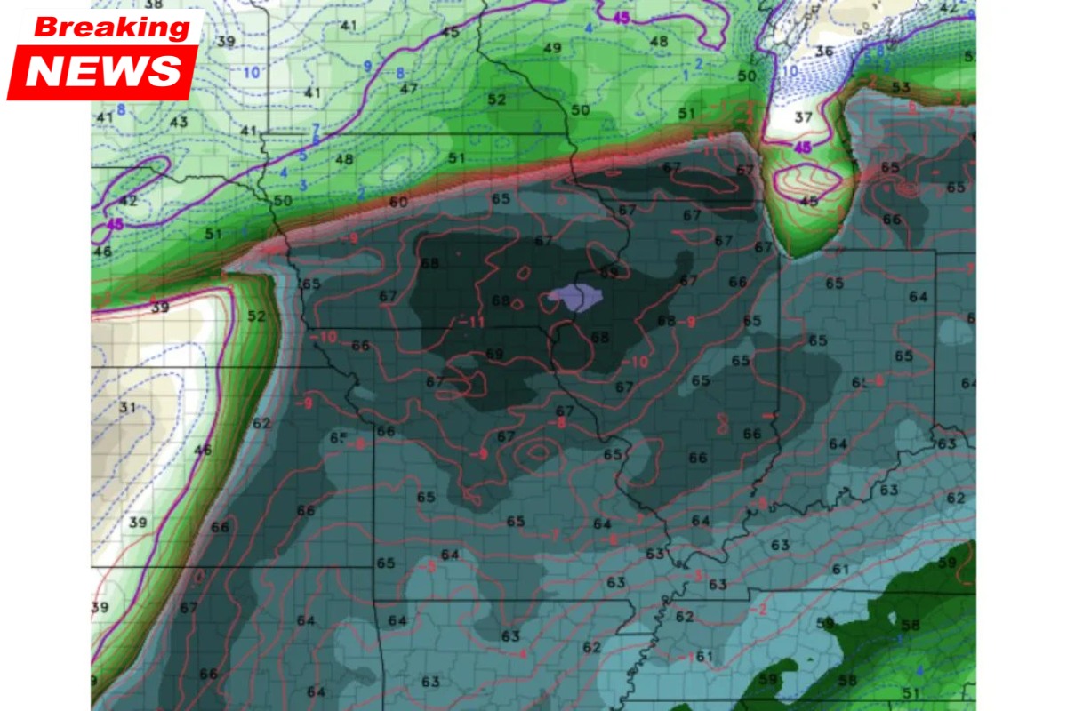
One of the biggest concerns is the amount of moisture in the air. The forecast shows dew points in the mid to upper 60s°F, which means there is a lot of humidity available.
This moisture acts like fuel for storms. The more moisture and heat in the air, the more unstable the atmosphere becomes. When the atmosphere is unstable, air rises quickly — and that helps thunderstorms grow fast and strong.
Some parts of the Southern Plains are expected to have extremely high instability levels. This means storms that form could become severe in a short time.
The Role of the Dryline and Boundaries
A key feature in this setup is the dryline or warm front. This boundary separates dry air from moist air and often becomes the exact place where storms begin.
On Tuesday, this boundary is expected to stretch across major parts of:
- Kansas
- Oklahoma
- Nearby regions
Where this line sets up will decide which areas face the highest risk. Places close to this boundary are more likely to see strong storms.
Upper-Level Energy Adds Power
Another important factor is energy coming from higher in the atmosphere. A system moving in from the northwest will help lift the air upward. This lifting motion is necessary for storm development.
When strong upper-level support combines with unstable air near the surface, storms can become:
- Long-lasting
- Well-organised
- More dangerous
This is why forecasters are calling Tuesday the most powerful setup of the week.
Two Factors That May Reduce the Risk Slightly
Even though the setup looks dangerous, there are two things that might limit how intense the storms become.
1. Weakening Upper-Level System
The system in the upper atmosphere may not be as strong as earlier expected. If it continues to weaken, it could reduce storm organisation slightly.
2. Wind Direction at Low Levels
Winds about 5,000 feet above the ground are not perfectly aligned for tornado formation. This could reduce the chances of tornadoes a bit.
However, it is important to understand that these factors do not remove the risk. Severe storms are still very possible, including tornadoes.
Why Tuesday Is More Serious Than Other Days
There have already been several stormy days this week across the central United States. But Tuesday is different because of how concentrated the energy is.
Instead of being spread out, all the key ingredients are coming together in one area at one time. This increases the chances of:
- Large hail
- Damaging winds
- Tornadoes
Even if tornado chances are slightly uncertain, the risk of severe storms overall remains high.
Quick Overview of the Situation
| Factor | What It Means | Risk Level |
|---|---|---|
| Moisture | High humidity fuels storms | Very High |
| Instability | Air rises quickly | Very High |
| Boundary (Dryline) | Triggers storm formation | High |
| Upper-Level Energy | Helps storms grow stronger | High |
| Wind Shear | Slightly weaker than ideal | Moderate |
What People Should Do Now
If you live in or near Kansas, Oklahoma, or the Southern Plains, it is important to stay alert. This is not a day to ignore weather warnings.
Here are some simple steps to stay safe:
- Keep checking weather updates regularly
- Turn on emergency alerts on your phone
- Know where to take shelter in case of a storm
- Avoid travelling during severe weather warnings
- Follow advice from local authorities
Storms on days like this can develop quickly, so early preparation is very important.
Tuesday is shaping up to be the most important and potentially dangerous weather day of this entire outbreak period. The atmosphere is filled with moisture and instability, a strong boundary is in place, and upper-level energy is moving in to support storm growth.
While a few factors may slightly reduce the intensity, they are not strong enough to cancel the threat. Severe storms, including damaging winds, large hail, and possible tornadoes, remain a real concern.
People across the Southern Plains should not take this lightly and must stay alert, follow weather updates closely, and be ready to act quickly if warnings are issued. Staying informed and prepared can make a big difference in staying safe during such high-risk weather situations.